


DATA MINER
MAPS, TESTS, YIELDS AND INPUTS—LEWIS BAARDA CRUNCHES
LAYERS OF INFORMATION INTO USEFUL, USABLE KNOWLEDGE FOR THE FARM LEVEL
BY LYNDSEY SMITH
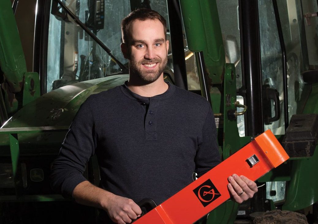
Lewis Baarda was n’t sure exactly what he wanted to do for a career, but he knew he wanted to work outside. Combined with a fascination with maps and a knack for numbers, Baarda soon found his way into studying geographical information systems (GIS) at the University of Lethbridge. After receiving his bachelor’s and master’s degrees there, he moved on to a position with Farming Smarter in southern Alberta.
The Farming Smarter Association is a not-for-profit group conducting innovative and relevant applied research for its members. From variable-rate technology to crop hail recovery, to hemp and grain agronomy, and even precision planting, Farming Smarter tackles fascinating, timely agricultural research.
Baarda started with Farming Smarter three years ago as a GIS analyst, and recently moved into directing on-farm research.
GrainsWest: What, exactly, is GIS?
Lewis Baarda: At its core, GIS is essentially interactive mapping software. GIS software allows us to combine maps so that we can examine the relationship between different mapped variables, such as soil type, yield or applied inputs.
We can bring in many maps, or layers, to examine and quantify relationships between various variables. It is a powerful tool for understanding the variability in our fields, and complex spatial relationships between yield and various factors of production.
GW: That sounds really computer-centric. How does it fit into growing a crop?
LB: GIS fits into the world of precision agriculture. It is used to examine relationships between different soil properties. The idea behind GIS in agriculture is that if we can understand how soil properties and crop yields vary from one end of a field to another, we can perhaps address specific crop needs in specific regions of the field.
GW: What is your role at Farming Smarter?
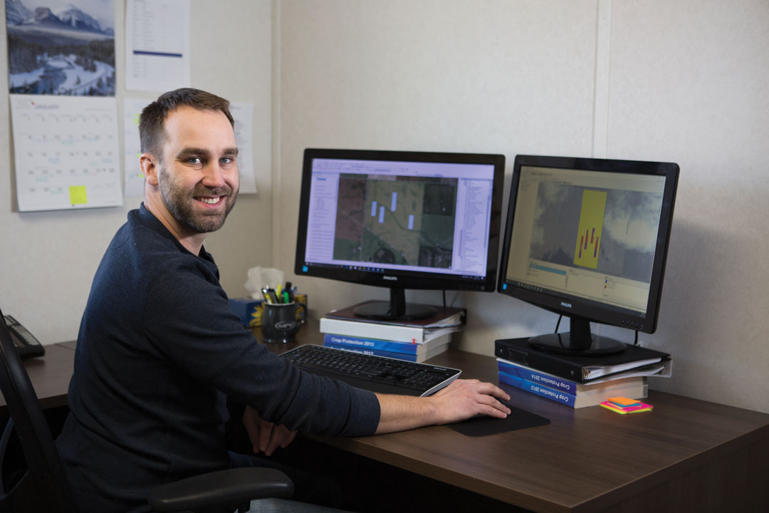
LB: When I was hired, Farming Smarter was just getting started on an ambitious project investigating soil sensors and variable-rate technology. At the beginning, my focus was almost exclusively on that project. This meant travelling to a number of fields across the province, collecting data and implementing on-farm research trials. Once the growing season is over, I hunker down in front of my computer and try to make sense of all the data that was collected.
GIS analysis is just one part of a broader scope of my responsibilities, including on-farm research and precision agriculture. This means working with farmers to set up research trials in their fields, using their equipment and existing precision agriculture tools. My job is to ensure trials are set up and implemented correctly. I visit fields throughout the growing season to monitor, observe and collect data. I help to co-ordinate harvest to ensure accurate data are collected, then analyze and summarize that data to produce trial results.
When I am not busy with on-farm trials in the summer, I manage a few of Farming Smarter’s nearly 100 small-plot research trials. It is a busy and dynamic environment here, so there is always something to do.
GW: What is a typical day like for you in the busy season?
LB: I’m not sure there is such thing as a typical day working in agriculture, even on the research side of things. Seeding and harvest are the busiest times of the year for me. For the last few years, I have had a number of on-farm trials on the go. Each trial is quite manageable on its own, but seeding and harvest time really put the pressure on. Spring tends to be the worst. I can go weeks waiting to seed, and then—boom—one day three producers will let me know that they will be seeding a trial in the next 24 hours. I maintain close contact, knowing that in spite of all the preparation something will inevitably go wrong, and of course it does. Usually, it is a last-minute technological hurdle. Sometimes the seeding prescription file I wrote isn’t recognized by the farmer’s equipment. Sometimes the software in the tractor refuses to communicate with the hardware in the equipment. Once there was a single wire that had worn through, rendering the equipment incapable of receiving the information necessary to carry out a trial. Through experience, a lot of these wrinkles have been ironed out, but we still have the occasional springtime train wreck.
The GIS work and data analysis component of my job is probably the most challenging, but this work is typically done in the off-season when fieldwork is complete, so I have the luxury of time to work through any issues that may present themselves.
GW: What’s your favourite part of this job?
LB: I love the days I spend outdoors. I love being able to head out to a real field somewhere and just spend a day in the sun collecting data. And as much as seeding and harvest time can be intense, being able to ride along while a crop is being seeded or harvested and getting to BS with the farmer—it’s really a lot of fun.
GW: What has been one of your biggest frustrations working in this field?
LB: Data overload. With the data collection tools at our disposal and the capacity to gather data quickly, easily and cheaply, we tend to collect a lot more than we need or can use. Sifting through all this data and separating the real, usable information from the noise can be a real challenge. I will struggle for a long time to fit a certain data layer into the puzzle, only to conclude that it just doesn’t fit, or that it isn’t relevant. Sometimes, too much data can take me on wild tangents, chasing interesting—but ultimately inconsequential—patterns.
GW: What do you see happening in five, 10 or 15 years, in terms of applications for this technology?
LB: That’s a tough question to answer. With the tools of precision agriculture, and the data-processing capacity of GIS technology, there is real potential for innovation. However, before we get there, we need to be honest about what we do and do not know, and about what we can and cannot do. I spend a lot of time working to understand spatial variation of soil, moisture and yield in a field, but there are important temporal variations in weather that really make it difficult to predict how a crop will behave in a given year.
It may not be possible, but if somebody can figure out how to accurately predict the weather, and I mean months in advance and at a regional scale, this technology would really take off. Weather variability really undermines our ability to predict crop behaviour, and thus our ability to precisely manage inputs to crop productions.
The big answer for 10 to 15 years from now is making certain farm tasks autonomous, such as giving farmers the capacity to scout fields remotely with unmanned vehicles and developing robots that can recognize and terminate harmful plants or insects as they appear.
GW: What’s the one thing you wish more farmers knew or applied about GIS technology?
LB: When it comes to the world of precision agriculture and big data, I think GIS is like a black box that spits out information, but nobody is entirely sure what is going on inside. The truth is, there is no perfect algorithm that can tell farmers exactly how to understand and manage variability in their fields. GIS and precision agriculture are tools—powerful tools—that can help to better understand our land and production, and can support management decisions, but they need to be married to good agronomy to be effective.


Comments