


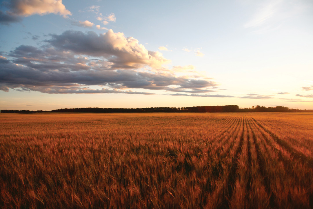
A RIVER RUNS THROUGH IT
BY IAN DOIG • PHOTOS BY ZOLTAN VARADI
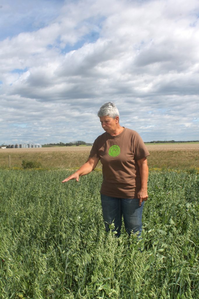
In August, photographer Zoltan Varadi and I set out on a mission through the Peace Country that took us to a string of farms and agricultural research facilities. The on-duty portion of our GrainsWest road trip began at the Agriculture and Agri-Food Canada Beaverlodge Research Station in the southwest corner of the region.
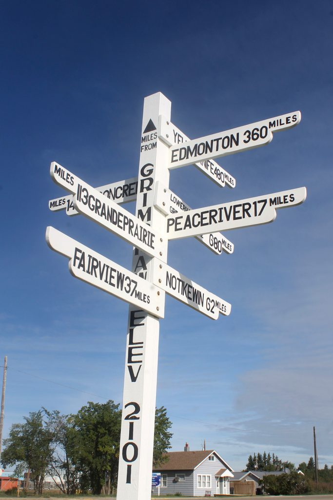
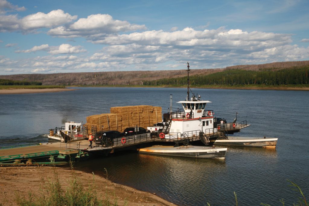
First-time tourists in this massive area, we covered a lot of territory but admittedly visited only a modest portion of it. After a suitably reverent visit to the world’s largest roadside rodent in the town of Beaverlodge, we proceeded diagonally across central Peace on Highway 2. On Highway 35, we headed straight up into north Peace and looped through Mackenzie County in the region’s northeast for a final photo session at the La Crete ferry crossing at Highway 697.
At this busy portal, the banks of the Peace River are relatively steep, though not so much as at Dunvegan, where the rail bridge dramatically crosses the narrow and deeply cut river valley. Along much of its course, the region’s namesake river flows roughly 180 metres below the surrounding crops. Though this makes irrigation difficult, as the river winds along the top end of Mackenzie County, the drop from crop to water gradually diminishes.
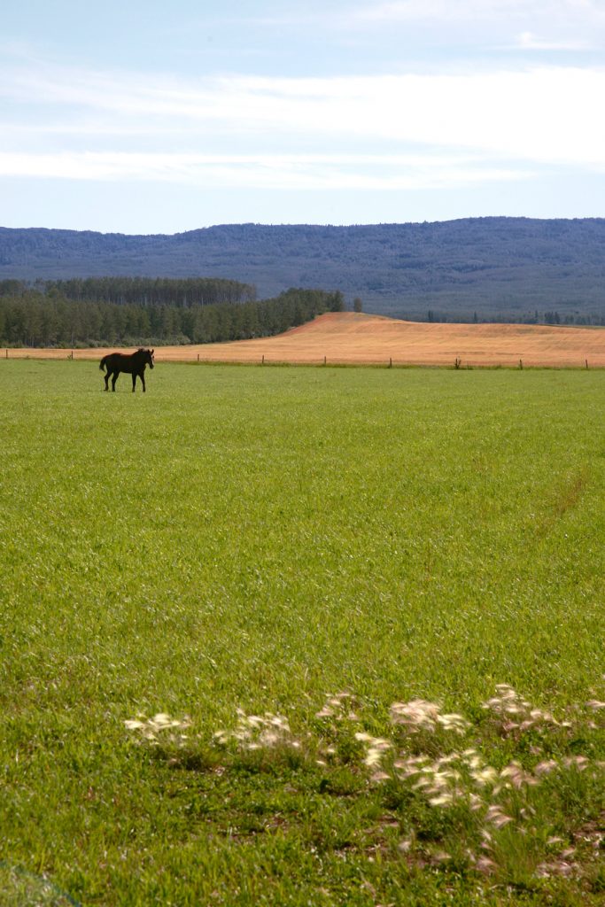
In this area, farmers talk of irrigation as a possibility. Despite its high latitude, the Peace is a land of such surprising possibilities. Sure, forage and short-season crops are grown where local microclimate demands, but a vast portion of the Peace can support most crops grown down south. At the Mackenzie Applied Research Association facility in Fort Vermilion, researchers work to make the agronomic case for new crop options that may suit local conditions. At the most northerly tip of Canada’s most northerly agricultural region, this even includes soybeans.
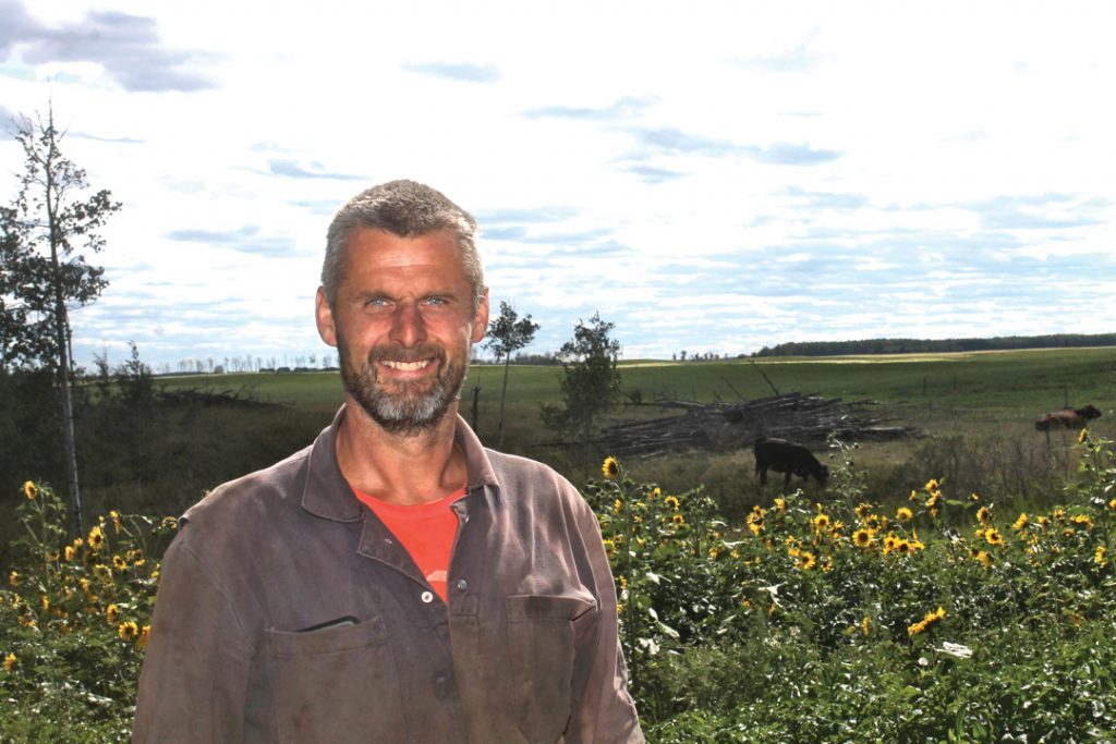
The cover story of our upcoming fall issue, “The Peace process” encompasses a discussion as wide as the Peace itself. It may be literally located in the backwoods, but the Peace is full of farmers who are forward thinking, quick on their feet and always on the lookout for new ways to outplay local climate extremes and build business opportunities.

Comments