


CLEARED FOR TAKEOFF
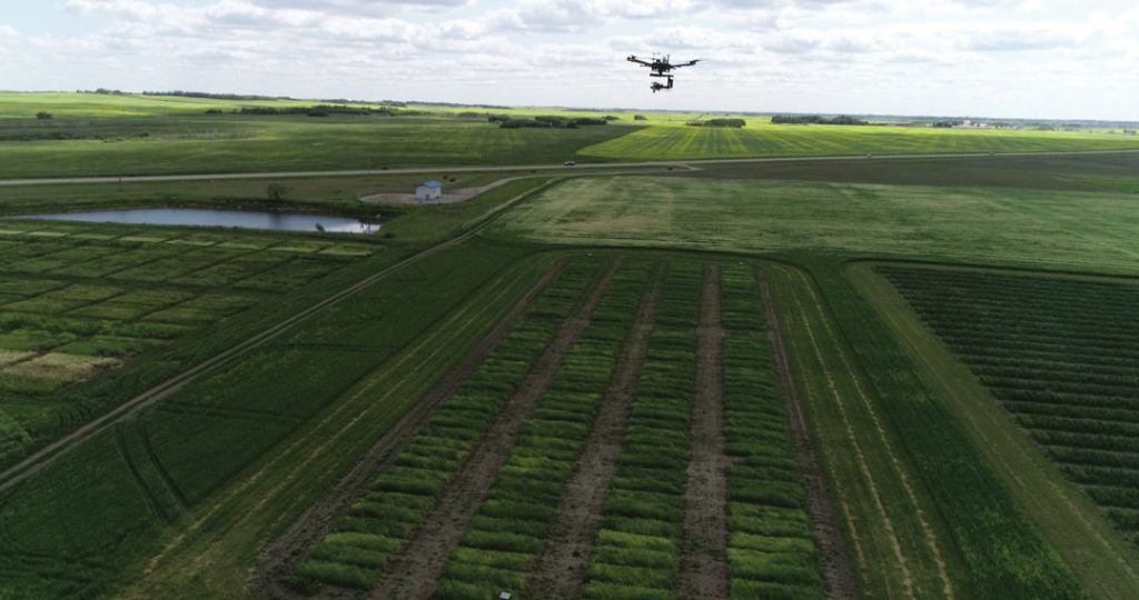
Crop breeders test thousands of plant lines every year in small, individual test plots. Assessing these plants involves both quantitative and qualitative analysis, but new software aims to substantially refine the process. PlotVision is a new software service that collects data using unmanned aerial imagery (UAI) captured by drones. The data may help researchers predict harvest yield and assess disease resistance, accelerate the plant breeding process and the production of new crop varieties.