


AQUIFER ASSESSMENT
BY EMILY R. JOHNSON • PHOTO COURTESY OF DAVID STANLEY
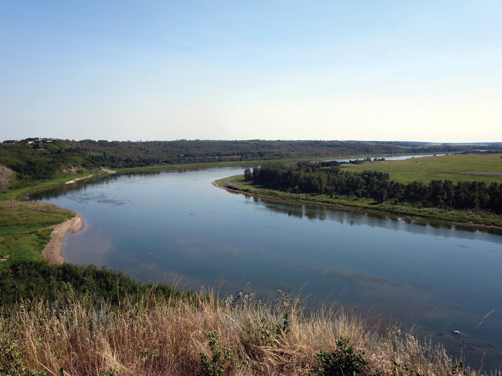
Farmers and rural communities in southern Alberta are heavily dependent on the health of the region’s ground and surface water resources. Much of the province’s 815,000 hectares of public and private irrigation is contained within the South Saskatchewan River Basin (SSRB). Here, 13 districts serve 556,000 hectares of farmland and 40 communities that include Calgary, Lethbridge and Medicine Hat as well as many rural properties.
To enhance the management of the SSRB and Milk River Basin (MRB), the provincial government has initiated a $3.8 million groundwater mapping project. The three-year study will assess the quality, quantity and location of aquifers in the two basins. A similar study in the 1980s focused on groundwater exploration rather than the support of groundwater resource allocation. According to the government, the enhanced approach will update and fill gaps in existing data. It will also guide regulatory decision-making and enable greater efficiency of water usage by the Province’s irrigation system. While the MRB is relatively small and contains no cities or irrigation districts, farmers who employ its irrigation system are the largest water users in the basin.
Rivers and smaller tributaries provide most of the water used within the two basins. Groundwater supplies just two per cent of usage, but a wide variety of users put significant pressure on the resource, nonetheless. Irrigation accounts for 75 per cent of water use in the region and draws from ground and surface supply. The system must maintain a careful balance as reliance on groundwater can deplete aquifers and reduce base flow for rivers and impact downstream users.
The provincial grant will support a three-year study of the two basins by the Alberta Geological Survey. In its analysis, the project will employ advanced hydrogeological mapping, high-resolution geological mapping and 3D modelling to a depth of approximately 700 metres. “This foundational geological and hydrogeological characterization is helping to identify prospective aquifer systems,” said Ryan Fournier, press secretary of the environment and protected areas ministry.
The study will also better quantify the effects additional groundwater use may have on surface water availability and connected ecosystems, he added. “An easily accessible data hub and repository, along with an interactive map, will help decision-makers, water licence holders and stakeholders access one location to retrieve pertinent geological and hydrogeological information about groundwater resources. Better information will help support effective regulatory decisions in the future.”
This detailed information is crucial for farmers, said Fournier. “It will enable more efficient water usage, particularly in irrigation, by providing data on groundwater availability and recharge rates.”
Though Alberta’s groundwater mapping project will assist regulatory decision-making, it will be insufficient on its own as groundwater systems are variable, said Grant Ferguson, professor in the Department of Civil, Geological and Environmental Engineering at the University of Saskatchewan. “Most regulatory decisions will require additional groundwater investigations at a local scale, which typically involve re-examination of available data, test drilling, hydraulic testing and collection of water quality data. These sorts of mapping exercises need to be revisited every few decades as our overall understanding of groundwater systems improves along with available mapping technologies.”

Comments