


REINVENTED RISK MAPS
BY ADELINE PANAMAROFF • PHOTO COURTESY OF KELLY TURKINGTON
For years, the Prairie provinces have operated individual tracking and prediction systems used to produce Fusarium risk maps. However, these tools used algorithms based on American prediction models. The accuracy of these models had not been fully tested in Western Canada. “Farmers along the borders between provinces would report the risk might be high in one province on the same day that it was low in the other because each province used a different risk model,” said Paul Bullock, a University of Manitoba senior scholar in agrometeorology.
Bullock is lead developer of the unified Fusarium Risk Mapping Tool, which was created to address this disparity. The project is funded by multiple sources including Alberta Grains, Sask Wheat, Manitoba Crop Alliance, the University of Manitoba, Agriculture and Agri-Food Canada and the three provincial government agriculture departments. It is now in transition from the research funding stage to long-term operational funding. As of 2023, it is funded for three-years under the Sustainable Canadian Agricultural Partnership to continue Fusarium head blight (FHB) and weather data collection, though at a reduced volume.
From 2018 to 2023, Bullock’s research team collected weather data and plant samples from sites across the three provinces. Weather measurements included wind, humidity, precipitation and temperature. Additional Prairie weather data was contributed from 2019 to 2021 by public networks including Environment and Climate Change Canada, Alberta Climate Information Service, Manitoba Agriculture Weather Program and Saskatchewan Public Safety Agency. “The spatial accuracy of the risk map increases when it can use data from a larger number of weather stations,” said Bullock.
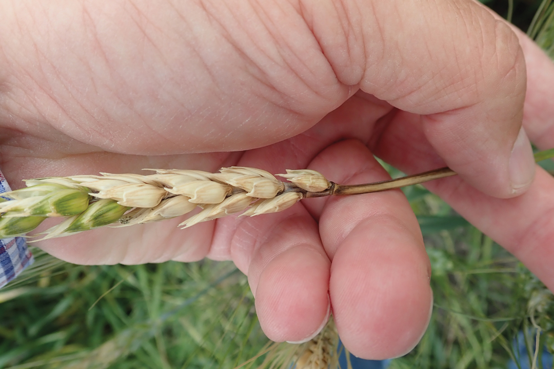
Fusarium data was collected from 600 plots across the Prairies over the three years. This included observation of the disease in plants at the filling stage to rate disease prevalence on the FHB index. Fusarium-damaged kernels and the presence of DON were also recorded. “Those data points were the basis for development of the FHB risk models in the Fusarium Risk Tool,” said Bullock. “In those same years, sampling was also done in about 300 fields to test the accuracy of the models. When compared to the previous provincial models, the accuracy of the spring wheat FHB index predictions in the new Tool was higher.”
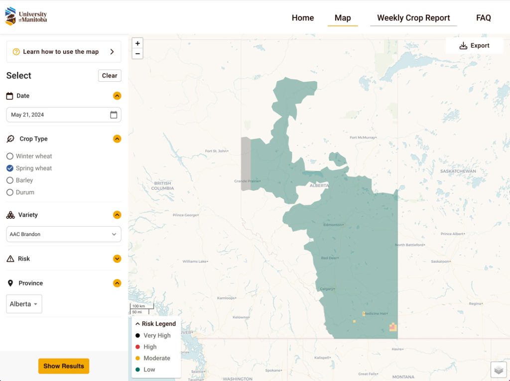
Available to Prairie farmers on desktop and mobile devices at prairiefhb.ca, the Tool makes daily, localized risk predictions based on weather station data collected over the previous 10 days. The system is active during the peak Fusarium period of June 1 to Aug. 31, and indexes the risk for barley, durum and spring and winter wheat.
“The new Fusarium Risk Tool will help farmers and agronomists assess the FHB risk level in their area,” said Ruoxi Xia, Alberta Grains agronomy extension specialist. When used alongside scouting, the tool will assist in FHB management decisions.” The value of the Tool comes into play when farmers need to decide when to apply a fungicide during high-risk conditions, she added.
Farmers across the Prairies are encouraged to continue their participation in the ongoing development of the Tool through the contribution of weather station data. Saskatchewan farmers who have Metos or Pessl weather stations are especially needed and those with either can contact sales@metos.ca.


Comments